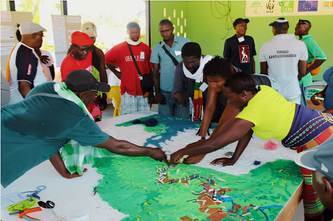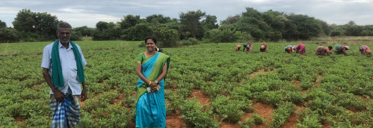

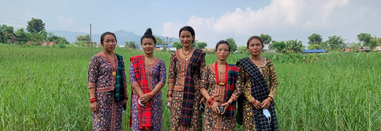
As Ulaanbaatar opens two weeks of land negotiations under the banner “Restoring Land. Restoring Hope,” the agenda has room for rangelands, tenure, finance and soil. It still doesn’t have a Place or Agenda for Care.
Every COP comes with its furniture. There are chairs for negotiating blocs, chairs for thematic working groups, pavilions for finance, pavilions for youth, side events for every constituency that has learned to organise itself into the room. UNCCD COP17 opens in Ulaanbaatar this week, the first of 2026’s three Rio Convention COPs. It is hosted by a country where nearly 77 percent of the land is already degraded. And it arrives with an unusually full table: soil health gets its own day for the first time, rangelands and pastoralism have a decision of their own after COP16, and land tenure is finally being named as a negotiating theme rather than a footnote.
What still doesn’t have a chair, in any formal sense, is care, the daily, unglamorous, often unpaid work of tending land, water, forest and herd that keeps every one of those other agenda items from being an abstraction.
Oxfam’s new briefing, “Who Cares for Carers?”, lands at exactly this moment with exactly this argument: that climate-induced land degradation is not only an ecological crisis but a crisis of care. And that the women, pastoralists, Indigenous Peoples and smallholders doing the restoring with their care, despite with the weakest legal claim to the land they restore.
It’s time we take that argument further. How conservation actually happens on the ground? Why land administration keeps failing to see it? And where, care might find ally from an unexpected quarter. How corporate ethics and disclosure law might offer care an opening onto the agenda?
Care was never missing from the land. It was missing from the record.
Start with a number that land economists don’t like to sit with for too long. Indigenous Peoples and local communities customarily hold and use at least half of the world’s land. Legally, they own about 11 percent of it, while they manage or have tenure over at least 32% of the global land area. Yet their lands overlap with 36% of Key Biodiversity Areas (KBAs) worldwide, they harbor up to 80% of the Earth’s remaining biodiversity and over 91% of these lands remain in good, fair, or largely intact ecological condition
This gap is filled, almost entirely, by care: by customary governance and value systems that function de facto, whether or not any state has bothered to recognise or market incentivise them.
The ICCA Consortium, the global network behind the concept of “territories and areas conserved by Indigenous Peoples and local communities,”. Now more often called territories of life, it is defined by ICCA through three characteristics: a close, often ancestral, association between a people and a place; effective local governance; and outcomes that are good for nature and good for community wellbeing simultaneously. Notice what isn’t in that definition. Title isn’t in it. A registered deed isn’t in it. What’s in it is a relationship that produces care as its ordinary output.
That’s not a romantic claim; it’s an increasingly well-documented one. Research by CIFOR-ICRAF, the Foundation for Ecological Security and Landstack across forest communities in Odisha and Meghalaya found that community stewardship rests on three measurable attributes: intrinsic ecological knowledge, the agency to act on it, and — named explicitly — an ethic of care. They describe this as arising from an understanding of the relationships between social and ecological well-being. Where that ethic held, forests were measurably healthier. Where climate-finance interventions arrived without recognising it, something quietly perverse happened: villagers who had been managing common forests collectively for generations were turned into day-wage labourers, paid to police land-use restrictions written by someone else. The same research team’s blunt summary of the problem, posted more recently to LinkedIn, is worth keeping close at hand through the rest of this piece: “We are measuring nature, more and more. Yet overlook the stewards, behind the numbers.”
This pattern repeats across continents with almost eerie consistency. In Aboriginal Australia, “Caring for Country” is not a metaphor borrowed by conservationists. It is a body of practice : cultural, spiritual and ecological in the same breath. Built up, in the words of anthropologist Deborah Bird Rose, over a span of time no other management tradition can match: “the notion of caring for country is quintessentially Aboriginal.” It operates on a reciprocal logic (look after Country and Country looks after you) and a planning horizon, commonly cited as seven generations, that most restoration-finance instruments, built around five-year project cycles, cannot even represent. It now underpins 81 formally recognised Indigenous Protected Areas covering more than 87 million hectares, proof that care-based governance can scale into policy when policy chooses to meet it halfway.
In India, an estimated 100,000 to 150,000 sacred groves, of which barely 13,000 have ever been documented, have been kept intact for centuries not by any forest department but by taboo, custom and reverence for local deities and ancestral spirits. Hunting and logging are prohibited inside them by social sanction, not statute. Most have no formal legal status at all; their protection is a governance system with no line item, no ministry and no cadastral entry, yet it has outlasted plenty of governance systems that had all three.
And rangelands, this COP’s other headline theme, are perhaps the clearest case of all. They cover roughly 54 percent of the Earth’s land surface and support more than 500 million pastoralists, whose entire management logic is relational rather than parcel-based: mobility, reciprocity, seasonal access-sharing, and a deep functional dependence on land nobody in the household necessarily “owns.” It is precisely the kind of land-people relationship that a title deed cannot describe. Also precisely the kind that our argument about fallow-season users, one of five categories of people routinely invisible to the land record, exist to name.
Why land administration keeps missing it: the Record problem
If care is this well-documented, why does land governance keep walking past it? Because land administration has, for most of its modern history, been built to answer a narrower question: who can sell this, mortgage it, or be compensated for it. As I have argued in this blog, the land record — the Record of Rights, the cadastral map, the parcel boundary — was never designed to tell you who actually farms a plot, who grazes it in the fallow season, whose upstream stewardship of a forest or watershed makes it farmable at all, who really controls decisions on it, or who is bound to it through memory rather than title.
This framework names five such invisible groups routinely missing from the record — the working tenant and woman farmer, the fallow-season commons-users, the upstream ecological carers, the local power-holders who actually decide outcomes, and communities connected through sacred or ancestral ties. It further and argues that land governance has evolved through four stages: from Revenue (colonial-era extraction), to Reform (rights redistribution), to Record (digitisation and formalisation), and that the imperative frontier ahead is Relation. Recognising land governance as a matter of people and their connections to land is more important, not just documents about it.
However, most land administration investment today is still firmly parked at the Record stage, and digitisation is often mistaken for progress. Precisely because it measures and shows which we are made to believe as progress: more parcels mapped, more titles issued, more records searchable on a phone. But digitising an incomplete or biased record does not fix its bias — it hardens it and moves it faster.
A recent study of Maharashtra’s tribal Talasari block found that colonial-era cadastral categories, never designed to capture hamlets that expanded organically across forest-adjacent land. Now they being carried wholesale into digital systems, reproducing old exclusions with new institutional force and no correction mechanism built in.
The bias isn’t only about which land gets recorded — it’s about whose hands hold the tools. Research on land administration technology has found the cadastral profession itself remains heavily skewed toward men in the Global North: women make up roughly 15 percent of surveyors in the UK and just 4 percent in Australia, and the resulting systems, designed by a narrow demographic for a much broader one, are anything but gender-neutral in what they choose to see.
None of this is an argument against digitisation, tenure formalisation, or the survey-and-title machinery that genuinely does protect people against dispossession. It’s an argument that “tenure security” measured only in hectares mapped, records digitised and titles issued is measuring outputs, not the outcome anyone actually wants — which is people, and the land they depend on, being cared for rather than merely counted.
An unlikely ally: corporate ethics traditions that already speak the language of care
Here is where the argument takes an unexpected turn. Long before “ESG” existed as an acronym, several living ethical traditions in Indian business culture were already organising commerce around exactly the relationship, land governance is now trying to recover: the idea that what you hold, you hold in trust, not outright.
Gandhian Trusteeship is the clearest example. Built on the principles of Aparigraha (non-possession), Ahimsa (non-violence) and Swaraj (self-restraint), trusteeship holds that surplus wealth is never truly owned by the person who accumulates it. It is held on behalf of society, to be used for common welfare rather than private accumulation. The Tata Group is the most cited modern application of the principle, but its logic maps almost exactly onto customary land tenure: a resource that is managed, not merely possessed; a holder who is accountable to a community rather than free to extract without limit.
Shubh Labh, literally “auspicious gain”, makes a related claim from a different direction. In the swastika symbol still painted above the ledgers of countless Indian businesses at Diwali, Shubh (the ethical means) sits deliberately beside Labh (the gain), a visual reminder that profit was never meant to be separable from the ethics of how it was earned. Even the classical prescription for dividing income, a portion for dharma-oriented deeds, a portion for contingency, a portion for the business, a portion for livelihood, a portion for family and community, reads today like an indigenous precursor to ring-fenced ESG spending, arrived at centuries before the term existed.
Jain business ethics complete the triangle. Aparigraha here means active limitation of acquisition and possession, not just restraint; Ahimsa extends non-violence to ecological harm, not only to living beings directly; and Anekantavada, the doctrine of many-sidedness. In effect, this is a philosophical argument for taking multiple stakeholders’ truths seriously rather than assuming the titled owner’s account of a landscape is the only one that matters. Contemporary scholarship on Jain-influenced businesses points to exactly the behaviours land governance is trying to encourage elsewhere: resource efficiency, minimal extraction, and giving that is structural rather than discretionary.
What unites all three traditions is the same move the ICCA Consortium, Landstack’s five invisible stakeholders, and “Caring for Country” all make in their own vocabularies: land, wealth and nature are relational before they are transactional. Someone is always a trustee, never simply an owner.
From ethics to enforceable disclosure: BRSR and CSDDD offering the chair for care?
The interesting question is whether these older ethical vocabularies can find their way into the newer disclosure regimes now shaping how capital treats land and the people on it.
India’s Business Responsibility and Sustainability Reporting (BRSR), mandated by SEBI for the country’s 1,000 largest listed companies, is built on nine principles drawn from the National Guidelines on Responsible Business Conduct. Several map directly onto the care agenda: Principle 4 requires businesses to be responsive to all stakeholders, not only shareholders; Principle 5 requires respect for human rights; Principle 6 requires effort to protect and restore the environment. The 2026 revision goes further, adding leadership indicators on green credits generated across a company’s top ten value-chain partners, a small but important intent that asks companies to account for what happens beyond their own fence line.
The EU’s Corporate Sustainability Due Diligence Directive (CSDDD) applies a version of the same logic globally. Large companies, an estimated 5,500 even outside the EU, must now identify, prevent and account for adverse human rights and environmental impacts across their value chains, not just their own operations.
For land-dependent sectors, that is a meaningful widening of the aperture. But Indigenous rights organisations have been quick to point out the gaps: the directive’s obligations attach to a company’s “established business relationships,” which tends to exempt the small and mid-sized actors, traders, local contractors, land brokers, who are most often responsible for the land grabbing and displacement that these frameworks are meant to prevent. It still lacks a dedicated reference to Indigenous Peoples’ rights instruments, a gap civil society groups have flagged for correction at the first review.
That is the honest state of things. BRSR and CSDDD are the closest instruments global capital currently has to a chair for care. But they are still, structurally, ledgers of harm avoided rather than registers of stewardship invested in. A company can pass every disclosure test by proving it hasn’t visibly violated anyone’s rights, while never once asking whether the community whose land it touches is a steward worth strengthening rather than a risk worth managing.
Landstack’s own call to companies captures the distance still to travel. Report honestly what your operations degrade, not only what you protect and recognise women, Adivasi, forest-dependent and pastoral communities not as beneficiaries of sustainability programmes but as the reason many ecosystems still function at all.
What a chair for care could actually mean at COP17
None of this requires inventing a new concept. It requires giving an existing, well-evidenced one a formal seat at four tables that already exist:
- In the negotiating text, land tenure decisions should be explicitly linked to indicators of community stewardship capacity — who is stewarding a landscape and how well, not only how many hectares have changed legal status.
- In restoration finance — the STELARR rangeland fund, the EU’s Thrivelands initiative, Great Green Wall financing, the Business4Land forum, money should be designed to strengthen the community arrangements already producing care, rather than to convert stewards into wage-earning monitors of rules written elsewhere.
- In land administration reform, digitisation programmes should be built around mapping five invisible stakeholders alongside the titled owner, not around the titled owner alone. Consciously moving deliberately from the Record stage to the Relation stage is imperative, rather than assuming one leads automatically to the other.
- In corporate disclosure, BRSR, CSDDD and whatever follows them should evolve to ask companies not just what they haven’t harmed, but whose stewardship they have strengthened, influenced or displaced. Important to recover, in modern regulatory language, the trusteeship logic that Gandhian, Shubh Labh and Jain business ethics had already articulated a century or more ago.
A conference themed “Restoring Land, Restoring Hope” cannot restore land by counting it more precisely. The land was never short of people caring for it : sacred groves, country, forest commons and rangelands prove that, continent after continent. What has been short, consistently, is a governance architecture willing to see that care, name it, fund it and protect the people doing it. Ulaanbaatar has two weeks and a full agenda. It’s worth finding room for one more chair.
Further reading and sources
- Oxfam — Who Cares for Carers? The importance of securing land rights for those at the frontlines of climate-induced land degradation (2026)
- Pranab Ranjan Choudhury / Landstack — What the Land Record Doesn’t Tell?
- Choudhury, Ho, Aggarwal & Thong — Carbon Credits and Crediting Women: Understanding the Gender of Ecological Care Labour in Forest Stewardship Projects in India
- CIFOR-ICRAF / FES / Landstack — Community Forest Stewards: Managers, Not Labourers
- CIFOR-ICRAF / Landscape Alliance — Steppe, Soil and Solutions: Landscape Alliance at UNCCD COP17
- ICCA Consortium — Territories and Areas Conserved by Indigenous Peoples and Local Communities
- World Resources Institute — Why Securing Indigenous Land Rights Protects Biodiversity
- ScienceDirect — Women’s Land Rights, Gendered Epistemic Tensions, and the Need for a Feminist Approach to Land Administration
- UNCCD — COP17 official page
- India Foundation — Moving Beyond the Limits of Profit through Shubh Lābh
- Cultural Survival — The European CSDDD: Why Does It Matter for Indigenous Peoples?