


USAID is partnering with the Government of Colombia to strengthen the capacity to increase sustainable land use and decrease deforestation to protect an iconic UNESCO World Heritage Site.

The Serranía del Chiribiquete was first declared a protected area in 1989 when it covered 1.3 million hectares. The government has since expanded the park to its current 4.2 million hectares, roughly the size of Denmark. As Colombia’s largest park, Chiribiquete National Park is regarded as a vital hotspot of biodiversity in the northern Amazon, sheltering jaguar, tapir, manatee, the brown woolly monkey, and giant anteater. The world’s largest protected tropical rainforest, this national park is home to hundreds of birds and butterflies species and plays a key role in global conservation.
Chiribiquete’s natural wealth goes beyond its biodiversity.

The park also bears traces of ancient human populations, perhaps the oldest inhabitants of the Americas, who lived in this territory long before the arrival of Europeans. In Chiribiquete, more than 75,000 pictograms depicting animals and humans have been discovered; some of these paintings are believed to be 20,000 years old. Today, the forest is still home to a sparse population of Indigenous Peoples, some of whom remain uncontacted and live in voluntary isolation.
This forgotten wilderness has been isolated for years due to an armed conflict that had kept tourists and Colombian settlers away from the park’s buffer zone. Getting there is not an easy endeavor, and only a small part of the park has been surveyed. In the wake of Colombia’s 2016 peace accord, biologists, botanists, and archeologists began visiting the rainforest mountain range with more frequency, and today, scientists believe the park could shelter even more biodiversity than is currently estimated.
Sadly, the buffer zones around and land inside Chiribiquete have been affected by rising rates of deforestation. In 2020, the region contained five of 12 deforestation hotspots in Colombia and was home to over 50% of the total national deforested area. In a six-month period between September 2000 and February 2021, 1,000 hectares of forest were felled and burned in the national park, according to a recent report from the Monitoring of the Andean Amazon Project.
Driving the depletion of the forest are several factors, including illicit crops, land grabbing and occupation, timber trafficking, cattle ranching inside protected areas, and the expansion of the agricultural frontier. A comprehensive solution requires the implementation of a range of policies related to security, land administration, and natural resource management.
“Chiribiquete’s large forests are critical for the water dynamics of the entire mountain range in eastern and central Colombia. Protecting the uncontacted Indigenous groups in this territory is also a challenge because of the risk of cultural loss after contact with land grabbers,” explains Carolina Jarro, Deputy Director of Management of Protected Areas at Colombia’s National Natural Parks authority.
A Land Governance Approach to Conservation
USAID is actively supporting the government’s efforts to halt deforestation in this region by improving land and environment governance tools and supporting government entities involved in land, conservation, and security. In fact, USAID has strategically aligned its environment and rural economic development/land portfolios in order to address deforestation and approach the issues of illicit crops being cultivated in hard-to-reach environmentally protected areas.

In places where the mechanism to reduce the presence of illicit crops are limited, USAID is demonstrating that land formalization can be a mechanism to strengthen conservation and natural resource management. The work includes working with mayors and municipal governments in buffer zones around the Chiribiquete National Park to strengthen land governance capacities and promote licit livelihoods for communities.
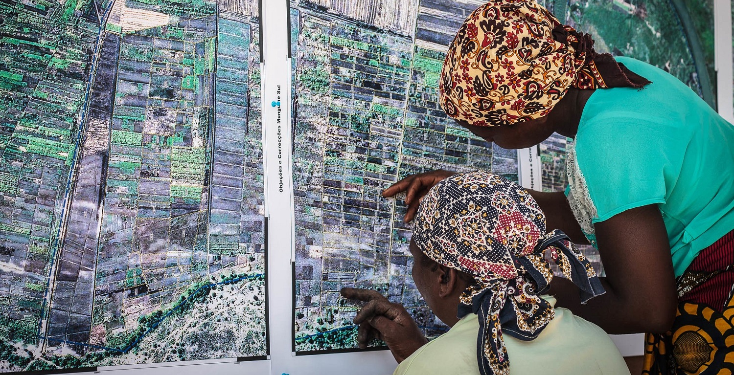
First step in protecting the forest and everything within it is delimiting the national park and adding it to the national cadaster. After this, USAID is helping the government pilot a land-use contracting program for ranchers and farmers living in the buffer zone. Finally, USAID is facilitating public-private partnerships to mobilize government and private sector investments that foster licit economic opportunities.
“Updating the cadaster is critical for territorial planning and fiscal strengthening of the municipalities, but it is also key for preventing deforestation and the destruction of environmental assets. With an updated cadaster, the park’s boundary and the characteristics of the surrounding areas can be established.” – Alejandra Botero, Presidential Counsellor for Management and Compliance.
This integrated approach has the potential to consolidate policies that can help to curb the region’s unchecked deforestation and unsustainable use of land. By updating the nation’s rural cadaster for areas around Chiribiquete and issuing legal land deeds, communities will be dissuaded from growing illicit crops and increase buy-in for a community-approach to forest management and inclusive growth around the enormous and emblematic park.
“The Government of Colombia, with the support of international cooperation, has conducted periodic flights to identify the deforestation and illegal occupation areas. These are public parcels that need to be identified to control and restore the area while reducing the possibility of affecting the natural and cultural heritage,” added Mrs. Jarro.
Learn more about the USAID Colombia Land for Prosperity activity here.
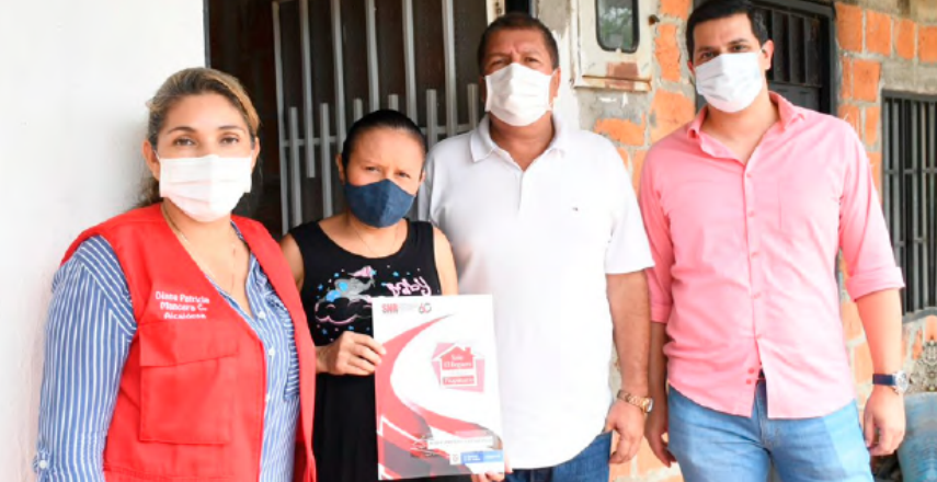
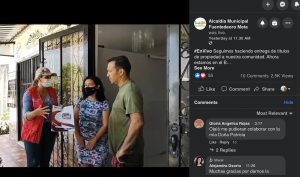 Between house visits, Mayor Mancera, who used a mask throughout the entire video to limit the spread of COVID-19, stopped and looked at the camera explaining to her followers how Fuentedeoro’s Municipal Land Office is playing a key role in allowing her to formalize public properties like schools and health clinics, as well as lands that were donated by the city for social housing.
 She repeatedly reminded her audience and the new landowners that without their commitment and confidence in local government, Fuentedeoro’s Municipal Land Office would not be able to process their titles. It is true that without community buy-in, building a formal land market is practically impossible.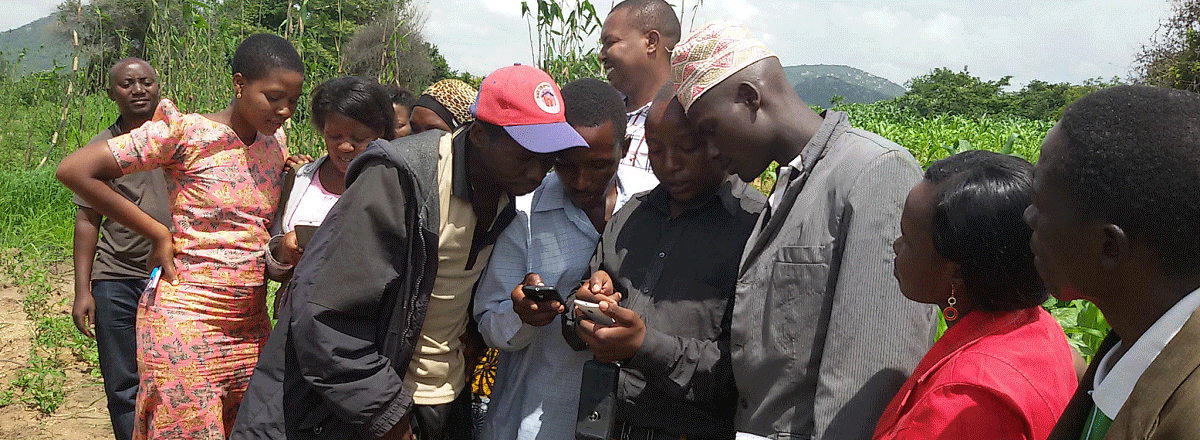
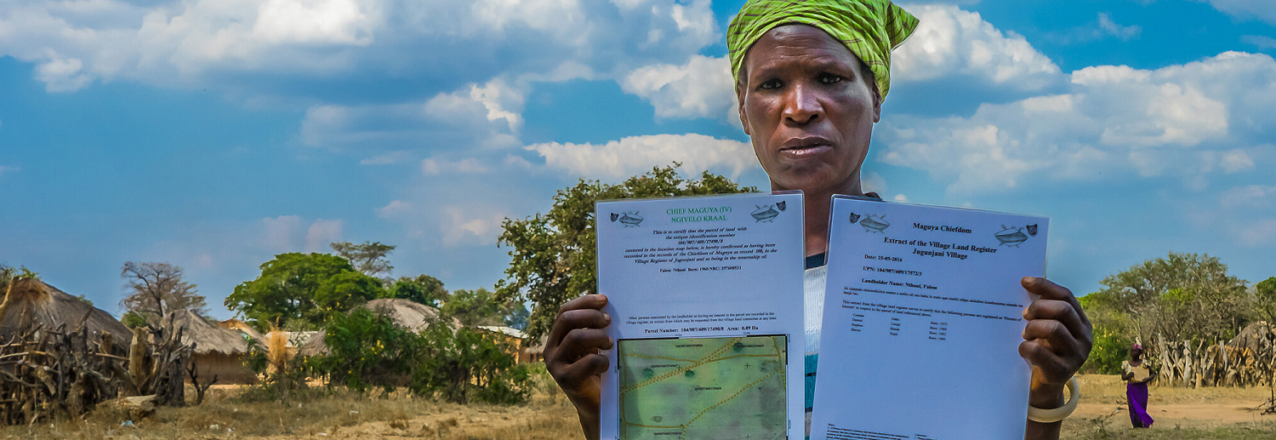
 Since 2015, USAID has worked in rural Iringa District, the heart of Tanzania’s southern agricultural region, to strengthen land rights and systematically address the lack of land documentation. Over the past five years, USAID/Tanzania’s Land Tenure Activity (LTA) helped villages and the district land office demarcate more than 70,000 land parcels and register more than 60,000 land certificates (known as CCROs), all using USAID’s digital
 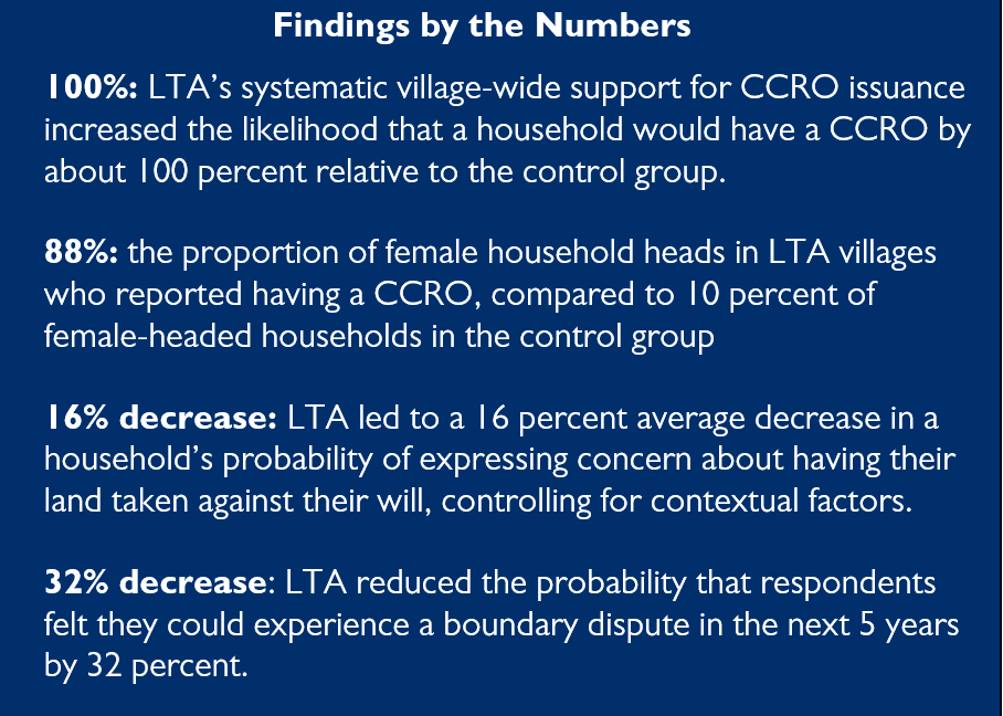 The impact evaluation of LTA has helped USAID measure the activity’s effect on land-related outcomes and understand how systematic certification of customary land rights affects smallholder farmers’ tenure security, investment decisions, empowerment, and broader livelihoods. With increasing land pressures and widespread concerns about land grabbing, knowing the impacts of formalized customary use rights is relevant to both farmers and policymakers.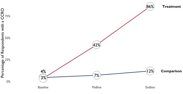
 Tenure security improved for both men and women, and to a greater extent for female relative to male households heads. The evaluation also found a substantial increase in tenure security for female primary spouses supported by LTA. These improvements are especially important in the rural Tanzanian context, where women often have a harder time claiming and defending their land rights or exercising control over land decisions. Based on the evaluation results, USAID/Tanzania’s support for formalized customary land documentation seems to have not only expanded people’s access to CCROs but also led to more equitable access to land documentation in ways that allay gender-based concerns around land grabbing.
 The Community is Abuzz






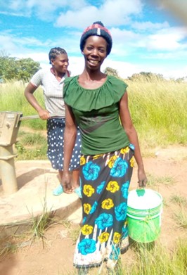


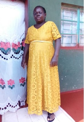
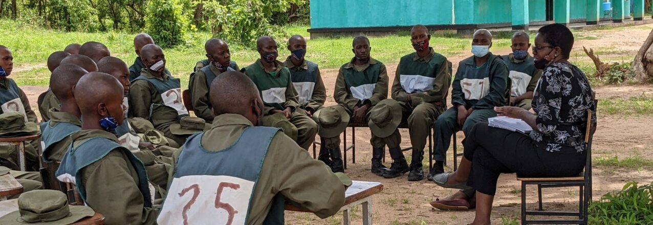
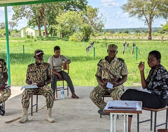 Zambia’s conservation community is getting behind the initiative. In the past two training courses, the number of female Community Scouts sponsored by Zambia’s conservation NGOs and private sector game ranches has increased dramatically. In the latest group of 46 scouts, 50% were female, which is a first for the DNPW. “Wildlife protection is often perceived to be a man’s role. At Conservation Lower Zambezi (CLZ), we believe in equality and recognize the value women bring in protecting our natural resources. For this reason CLZ is currently investing in the training of Zambia’s first all-female Community Scout Unit,” says Ian Stevenson from CLZ. Hassan Sachedina from BioCarbon Partners notes: “We see women leading, pioneering, and catalyzing at all levels in the critical fight for biodiversity protection and wildlife habitat conservation in Zambia. Across 13 Chiefdoms, BCP has supported the training of 29 female Community Scouts out of 105 Community Scouts that BCP funds. We are really proud to be striving for and creating strong female role models for future generations.”
 A Community Scout Spreads her Wings