


Q&A with the Subdirector of the National Land Agency in Colombia, Andrea Silva
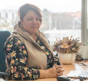 Since signing the 2016 Peace Accords, the government of Colombia has transformed rural land administration by adopting a model that puts the onus of formalizing rural property on government land agencies like the National Land Agency (ANT). With the support of USAID’s Land for Prosperity Activity, the ANT is streamlining processes and simplifying the steps needed to deliver land titles. In this interview, the Technical Subdirector of the ANT, Andrea Silva, talks about how the Agency has taken advantage of USAID’s experience and is embracing an evolving approach to securing land rights.
What are the biggest challenges that the ANT faces during the formalization processes?
The main situation that affects our progress is that we need people to move land processes forward, and there are not a lot of skilled people with experience in land. It is not easy to find cadastral engineers or topographers with experience in rural land surveying. Therefore, we have to find new methodologies that allow us to collect physical and legal information, which is why we are making a big effort to move from direct to indirect methods. This paradigm change sometimes generates resistance, but it is necessary to make progress, because with parcel-to-parcel visits, we are not going to achieve comprehensive rural reform.
Has this changed how the government faces land informality?
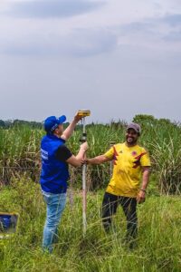
Everything we do is useful for the cadastral authority, but that does not necessarily mean that we have to survey the entire municipality. So a big change in order to optimize time and resources is completing municipal parcel sweeps by intervention units. In this regard, an intervention unit is surveyed and the information is delivered to the ANT for validation. While the first unit is going through the ANT’s internal process, in the field, the second unit is already being surveyed. Through analysis, we know which units are the most informal, and so when we arrive, we already have a more accurate and clearer objective.
Is this new adaptation going to be used in the Santander de Quilichao parcel sweep?
 We have already used it, for example in the units that LFP delivered in Fuentedeoro and Puerto Lleras, we have already delivered land titles. In Santander de Quilichao we are going to identify the people and parcels that need to be formalized, that need land administration or legal tenure. We are going to make the processes quicker, more consistent, and especially produce results faster. What we aspire to is to avoid what happened to us in previous parcel sweeps, which were very long processes, too long for a single municipality, so we can gradually make progress.
What role do new technologies play in simplifying processes?
Strengthening information systems and data collection systems is very important to the ANT. We are increasingly moving towards the improved use of technology, even though in rural environments this is difficult. In the countryside, people do not feel comfortable signing digital documents, on a tablet, for example. They like using pen and paper, having a hard copy of the document to take home with them. It is necessary to move towards technology in a gradual way, so that the communities continue to trust us.
Have the recommendations made by LFP increased the efficiency of the ANT and other public entities like IGAC?
 Yes, we have implemented many changes, not only in the processes but also in simplifying forms, consolidating information collection tools, and issuing guidelines that are clear, not just for ANT employees but also for the parcel sweep operators. For example, before the ANT had 32 attention routes for land formalization, and we simplified the processes to 24 routes. Everything LFP has done to support the ANT with Rural Property and Land Use Planning translates to the possibility for a dignified life for rural Colombians.
Are these changes strengthening how the ANT achieves comprehensive rural reform?
The comprehensive rural reform goes beyond delivering land titles. Of course, the title is the first step for people to access institutional services, for them to have a guarantee when requesting a low-interest loan from a bank, or to access a subsidy. The ANT looks for the people and parcels that are subject to formalization in a way that permits them to access all institutional services. Delivering a property title is delivering hope, delivering possibilities, it means that the life projects of these rural communities can be given certainty.
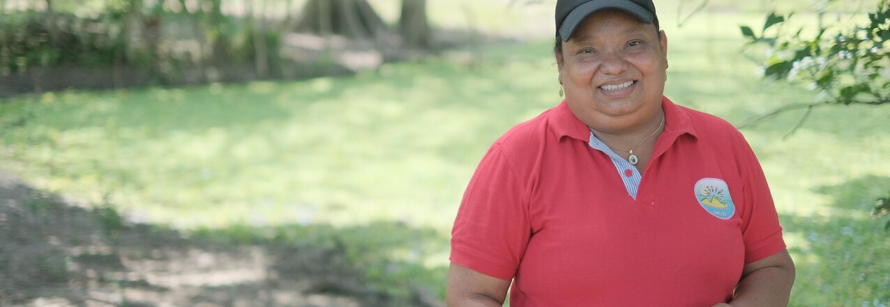
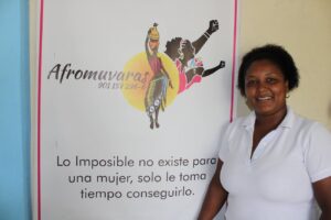
 Luz Mery Valdez is an iconic woman, who is defying gender stereotypes through her work as a cassava and yam farmer in the Montes de María region of Colombia. She works with the Association of United Women of San Isidro (AMUSI) in the municipality of El Carmen de Bolívar.
 What have been the most visible changes since women have participated in farming activities?
 What would you say to other women?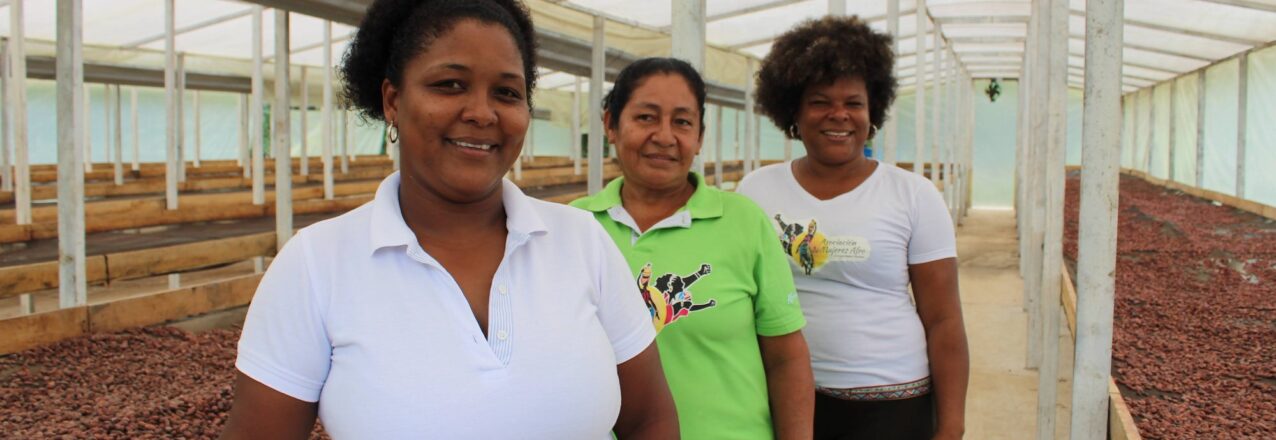
 As part of the 16 days of activism to end violence against women and girls, LFP talked to Judith Rodríguez, a member of
  In the Community Council, you share the land between members. Do you think the women who own land individually or jointly with their partners are as protected as you?
 There are laws to stop men from selling common properties without the consent of their partners. Do you think there is a need to talk about these laws more widely?

 One early morning in 1994, Gloria Ester Buelvas was woken and told she had to leave her grandfather’s farm in San Pedro de Urabá, where she had lived 16 years of her life. Nearly three decades later, Buelvas still does not know why she and dozens of members of her family were threatened and forced to leave their hometown.
 Colombia’s Urabá region stretches from the border of Panama along the Caribbean coast and is famous for bananas and large cattle ranching estates. Over generations, the region became a textbook example of the type of class divisions between landless farmers and an elite land-owning class that fomented strife and erupted in brazen warfare between the leftist guerrillas and paramilitary groups in the nineties. Families like the Buelvas were caught in the middle, accused of helping or supporting one side or the other.
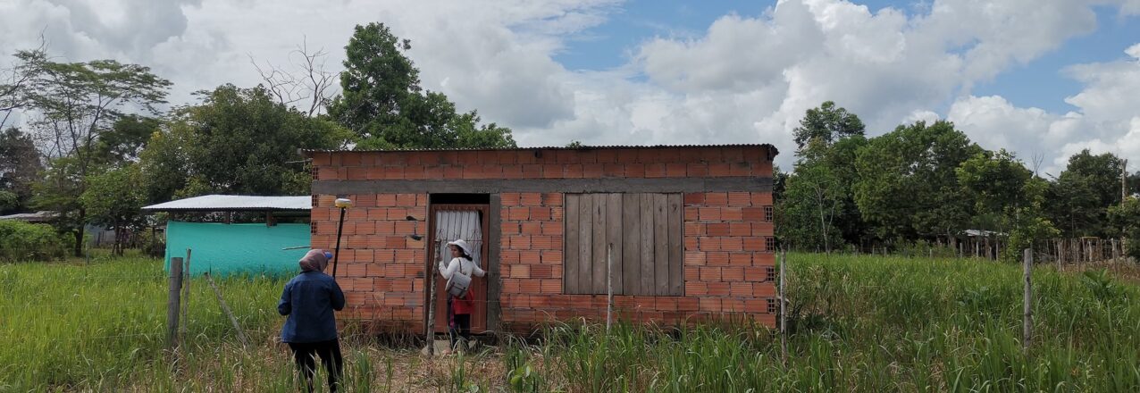
 Over the years, the municipality provided relief, including improved roads and electricity, and the families rebuilt their lives. Gloria and her neighbors supported each other through subsistence agriculture, but none have ever obtained a land title for their property.
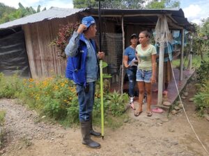
 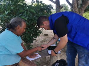 When the cadaster of Puerto Lleras was last updated in 2011, it included 2,300 properties. Following the implementation of the 2023 POSPR, the initiative surveyed over 4,600 properties, many of which are home to displaced families. More than half of these parcels are not recognized by the state but are ready to be formalized and issued a registered land title.
 Puerto Lleras is one of
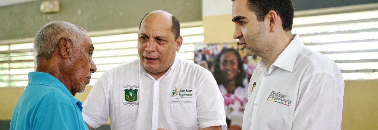
 USAID is promoting an innovative land administration strategy that supports the creation of Regional Land Offices (RLOs) in partnership with regional governments across Colombia. RLOs address issues of land formalization in municipalities with limited resources. RLO land formalization teams, which include a land surveyor and legal expert, rotates around the department, working in municipalities where local leaders have limited budgets and experience with titling property. The strategy takes advantage of economies of scale, allowing municipal leaders to share costs, and strengthens land use planning between municipal and regional leaders. RLOs interface with Colombia’s property registry authority, the Superintendence of Notaries and Registers, which is often located far from rural municipalities. They also assist with the titling of properties in urban areas, including public properties with schools and health centers, and provide technical assistance and training.
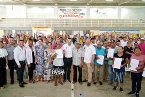
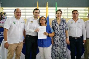 At the event, regional leaders delivered 146 land titles to landowners in the municipalities of Arjona, Calamar, Cartagena, El Carmen de Bolívar, Magangué, Mahates, María la Baja, San Jacinto, San Juan Nepomuceno, Santa Rosa del Sur, and Simití. RLOs ensure gender equality and a total of 108 land titles benefited women. The Bolívar RLO plays a central role in the Departmental Land Working Group, which coordinates tasks related to land administration and property formalization in the department in efforts to increase the efficiency of land titling and promote a culture of formal land ownership.
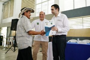 W.R: A well-organized office brings people closer to the habits of legal land ownership so that their land titles can be passed from generation to generation and from owner to owner. It is an invitation to the community to align itself with the office, to resolve their doubts with clear and accurate information, and to learn how to do land transactions moving forward.
 J.V: Without a doubt it can and will be over time. The Bolivar Regional Land Office is a strategic ally to reach each of the municipalities and the villages in corregimientos, and veredas in Bolívar. I believe the office is the critical link to continue formalizing land and properties, and to convert registered property titles into a positive habit of the community.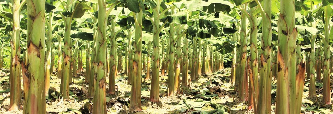
 Fuentedeoro is known for plantains. The municipality is located in Colombia’s eastern plains, a vast region of large rivers that drain the Andes into the Amazon basin. In this landscape, Luz Dary Mendoza learned farming from her father, who grew a variety of crops in the fertile plains. But his livelihood and family’s future always depended on the revenue generated from the region’s cash crop: the plantain.
 The Rural Property and Land Use Plan, known by its Spanish acronym POSPR, seeks to change this paradigm. The initiative, which surveys and updates the cadaster for every parcel in the municipality, was recently carried out by Colombia’s National Land Agency with USAID support. Land formalization teams surveyed almost 4,500 rural parcels, covering Fuentedeoro’s more than 56,000 hectares. The land administration plan discovered that some 2,000 plots are ready to be formalized. Among these plots are the farms of Luz Dary Mendoza and 19 AGROSARDI members.
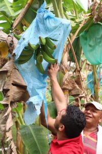 Under Luz Dary’s leadership, AGROSARDI joined a Public-Private Partnership (PPP) focused on plantain agribusiness. The PPP, which was facilitated by USAID Land for Prosperity, is valued at more than USD $250,000 and links critical investments from the public and private sectors to nearly 200 plantain farmers in and around Fuentedeoro.
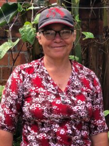 Thanks to the plantain PPP, farmers are learning Good Agricultural Practices (GAP). AGROSARDI will generate cleaner, agrochemical-free crops. GAP also promotes soil recovery through the use of organic fertilizers, resulting in cleaner plantain suitable for human consumption.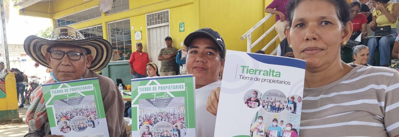
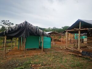 The invasion occurred in 2010, and Jairo Gómez was there. He was one of a multitude of victims and families displaced by the violence that had engulfed their region and pushed them out of their homes. Gómez pounded in wooden posts, hung a tarp and hammock, and braced himself for the inevitable backlash. In less than a week, the police showed up with teargas and violence to evict the families. Gómez stood his ground.
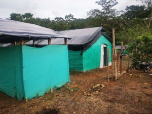 Social leaders emerged, and soon they were laying lines to create the lots for dwellings and future roads. By the end of the first year, 5,000 people lived in 9 de Agosto, which anywhere else was known as the barrio de los desplazados, or displaced people.
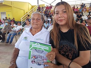
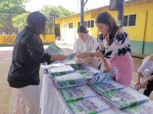 This year, with USAID support Tierralta made a giant step towards incorporating the neighborhood into the town’s masterplan by titling more than 260 parcels. The event featured Mayor Daniel Montero delivering property titles to a packed auditorium, and was significant on several levels. First, as a clear example of the government providing families with a tangible asset that will inevitably lead to improvements in their neighborhood; second, the event represents the single largest delivery of land titles made by a municipal administration in the history of Colombia. “The wait times for government services are slow and you can never get everything done, but today we have fought for something beautiful,” Montero said to the crowd. “A land title will bring you new opportunities and hopefully bring peace, happiness, and hope to your homes.”
 The Colombian government has struggled to facilitate land planning in areas affected by the conflict or to provide residents with services to legalize the properties of informal settlements like 9 de Agosto.
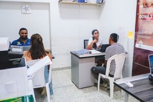
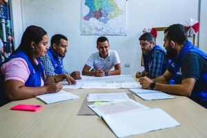 With USAID’s support, Tierralta’s Municipal Land Office has improved its capacity to title urban property and reduced processing times from multiple years to just a few months. Key to the process is the improvement in communication and work flow between land agencies, or in this case with Colombia’s property registry authority, the Superintendence of Notaries and Registers (SNR). By working directly with the regional SNR office, Tierralta’s Land Office can title dozens of properties at a time.
 Since 2020, 42 USAID-supported Municipal and Regional Land Offices delivered over 6,800 land titles to families living in the urban areas of rural municipalities. In addition, the land offices have formalized more than 1,600 public properties and provided land and property services to more than 16,000 citizens.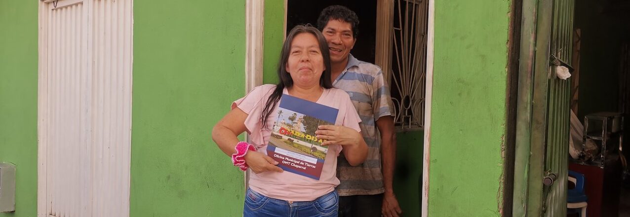
 Theirs is one of 30 land titles delivered at an event earlier this year by Chaparral’s Municipal Land Office (MLO), which was created with support from the Land for Prosperity. The Land Office operates under the Municipality’s Secretary of Planning and is something of a one-stop shop for local land administration. It facilitates rural development initiatives and allows the local leaders to deliver on state-led land titling strategies that take the onus off land owners.
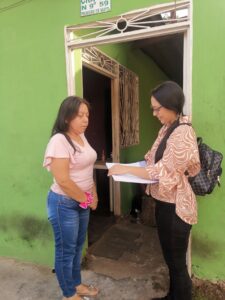 For now, the Municipal Land Office is operating thanks to Natalia Quinoñes. As the MLO’s legal expert, she reviews hundreds of urban properties and provides citizens with information to begin to understand the complexity of Colombia’s land laws and the process of property formalization. Quiñones graduated in law last year and is relatively new to the land administration. In her job, learning is a continuous process, and she studies how land laws are evolving in today’s Colombia.
 LFP helped to delineate the city’s urban perimeter, verified the geodesic network, and divided the municipality into workable intervention units. The parcel visit phase has begun and rural families in Chaparral are participating in the process. The POSPR is surveying an area of more than 88,000 hectares and approximately 8,600 parcels. More than 2,600 parcels are expected to be titled by the National Land Agency.