

Phase 2 final report
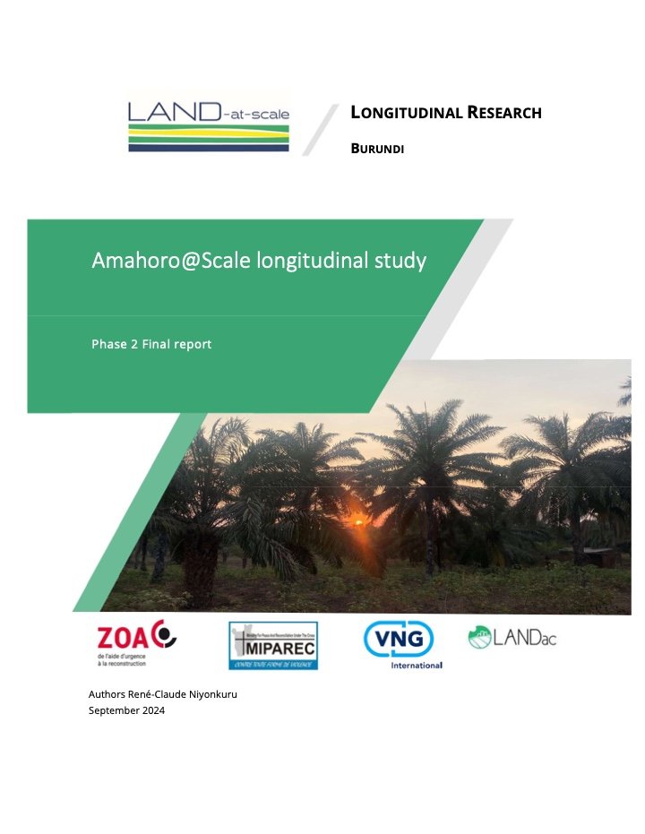
Download the complete publication (PDF)
Abstract
The context of Nyanza-Lac is both complex and interesting for researching land issues. It has a very high population density (more than 50% of the whole population of Makamba Province lives in Nyanza-Lac) and attracts flows of intra- and interregional migrants in search of fertile land and income-generating opportunities in the area.
Besides the agriculture for food crops, Nyanza-Lac offers other diverse opportunities in fishing and cash-crops. Over the years, palm oil has become a key local economic asset, as it generates income for different segments of the population involved in its various activities along the valuechain.
Competing interests and dynamics in land management and use, create a challenging context in this area, which is still characterised by poor land governance. This results in unregulated land use (agriculture vs urbanisation), land transactions and land grabbing. The commune has hence been known to be a hotspot for land conflicts, especially those related to displacement and repatriation.
This context makes localized initiatives to improve land tenure security and governance (such as the Amahoro@Scale project) both relevant and challenging. The longitudinal study contributes to understand better existing and emerging land tenure security issues with the aim of both generating knowledge and improving current and future land-related interventions.
The idea of conducting this longitudinal survey emerged from the baseline survey that was conducted in 2022 in the framework of Amahoro@Scale project. The first phase of the longitudinal study which was conducted in February 2023.
The initial sequencing of the longitudinal research phases was considered according to the key phases of the project implementation, namely:
first phase: before the awareness raising campaigns, conducted prior to the start of project field operations;
second phase: during the demarcation of land and the identification of land owners and land use rights in the field;
third phase: after the land demarcation and the subsequent restitution of the results to the population;
fourth phase: following the effective issuance of land certificates to the population.
Some adjustments have been made to gradually adapt to the challenges related to the implementation of the project which has caused some delays.These adjustments are not likely to alter the scope and results of the longitudinal research at large. This report presents the findings of the second phase, conducted after 6 to 9 months of intense awareness-raising activities and land demarcation operations that took place on all the collines covered by the research. Other activities included training for the local committees (abasuzumyi) involved in land demarcation and conflict management.
Publication details
- Author
- René-Claude Niyonkuru
- Publisher and contributing organizations
- LANDac, ZOA
- Publication date
- September 2024
- Language
- English
- Extent
- 35 pages
- Geographic focus
- Burundi
- Subjects
- Land & Food Security · land governance food security agriculture conflicts land conflicts palm oil industries
- Resource type
- Reports & Research
Program: LAND-at-scale.
Related projects: LAND-at-scale Burundi: Amahoro at Scale, LAND-at-scale Knowledge management: LANDac contribution, LAND-at-scale Knowledge management: International Land Coalition contribution, LAND-at-scale Knowledge management: KIT support to country partners, LAND-at-scale Knowledge management: Land Portal strategy support.
Original publication credited to René-Claude Niyonkuru. Cover reproduced from the first page. Creative Commons Attribution–NonCommercial 4.0. Land Portal source record.